
Orthomosaic and 3D Mapping: Key Benefits of Drone Software
In recent years, drones have emerged as powerful tools in geospatial data collection. With the rise of drone-based surveys and inspections, high-accuracy mapping has become more accessible, efficient, and cost-effective. Two of the most valuable outputs from drone flights are orthomosaics and 3D models. To generate these outputs with precision, professionals rely on specialized software solutions; particularly drone orthomosaic software and drone 3d software.
These software applications transform raw aerial data into highly detailed, georeferenced visuals. Whether for urban planning, mining, agriculture, or construction, orthomosaics and 3D models offer critical insights that help teams make data-driven decisions and improve workflow efficiency.
This blog outlines what these technologies are, how they work, and why businesses are increasingly depending on them for accurate aerial intelligence.
What is Drone Orthomosaic Software?
Drone orthomosaic software processes aerial photographs captured by drones into seamless, georeferenced 2D images. An orthomosaic is created by stitching multiple overlapping images together, correcting for camera tilt, elevation changes, and distortion, ensuring that the final image maintains a consistent scale across its entirety.
Unlike standard aerial photos, orthomosaics can be used for precise measurements of distances, areas, and angles because they are spatially accurate. They serve as the base layer in many surveying, mapping, and construction applications.
Key features of drone orthomosaic software include:
Image Stitching Algorithms: Automatically combines overlapping images with photogrammetric techniques.
Georeferencing Capabilities: Integrates GPS data and Ground Control Points (GCPs) to align the image with real-world coordinates.
Output Customization: Users can generate orthophotos at specific resolutions, projection systems, and formats.
Measurement Tools: Allows users to measure dimensions, mark points of interest, and overlay additional map layers.
What is Drone 3D Software?
While orthomosaics are flat, two-dimensional maps, drone 3d software generates full three-dimensional reconstructions of terrain, buildings, and objects from aerial data. This software creates textured models using photogrammetry or LiDAR data, giving professionals a more immersive and realistic view of the area surveyed.
These 3D models provide in-depth context for planning, inspection, and visualization. Engineers, architects, surveyors, and planners use 3D outputs for simulations, volume calculations, clash detection, and virtual walkthroughs.
Capabilities of drone 3d software typically include:
Point Cloud Generation: Converts imagery into dense 3D point clouds for structural analysis.
Digital Surface and Elevation Models (DSM/DEM): Visualizes terrain and surface features with elevation data.
Texture Mapping: Applies real-world textures for accurate visual representation.
Measurement and Annotation Tools: Enables height, volume, and angle calculations directly on the model.
Export and Integration: Supports formats for CAD, GIS, and BIM software for further analysis.
Benefits of Orthomosaic and 3D Mapping in Various Industries
Construction and Infrastructure
In construction, accurate site data is crucial for planning, progress tracking, and inspection. Orthomosaics provide up-to-date aerial views of sites, allowing managers to detect deviations from design plans and monitor material usage. 3D models help with cut-and-fill analysis, structural planning, and clash detection, ensuring that projects stay on schedule and within budget.
Surveying and Land Management
Surveyors can replace time-consuming ground surveys with drone-based mapping. Orthomosaics offer centimeter-level accuracy, reducing the time and labor involved. Combined with 3D modeling, topographic features can be examined with more depth and precision.
Agriculture
Farmers and agronomists use orthomosaic maps to assess field health, irrigation patterns, and crop density. When combined with NDVI and other vegetation indices, drone maps help identify problem areas. 3D models further support terrain analysis and drainage planning.
Mining and Quarrying
In mining, volume estimation is critical. 3D models created by drone 3d software are used to measure stockpile volumes, monitor excavation progress, and improve blast planning. Orthomosaics help maintain updated maps of operational areas, improving safety and compliance.
Urban Planning and Real Estate
Urban planners use orthomosaics to visualize land usage, infrastructure development, and zoning. 3D models assist in simulating new projects, evaluating visibility impacts, and communicating design concepts to stakeholders.
Accuracy and Efficiency Advantages
The use of drone orthomosaic software and drone 3d software drastically reduces the time and resources needed for data collection and processing. Traditional land surveys might take days or weeks, depending on the area. Drones can collect data in a few hours, and software can process it within a day, offering nearly real-time insights.
These tools also minimize human error by automating complex calculations and analyses. With the help of GPS and RTK positioning, accuracy is enhanced to meet industry-grade standards.
Challenges in Processing and Implementation
Despite the advantages, users of drone orthomosaic software and drone 3d software may face certain challenges:
High Computing Requirements: Processing large datasets requires powerful hardware or cloud-based platforms.
Skilled Operation: Operators must understand photogrammetry principles and data processing workflows.
Regulatory Hurdles: Permissions for drone flights must be secured in many regions.
Environmental Conditions: Weather and lighting can affect image quality and processing outcomes.
With proper planning, training, and equipment, these challenges can be managed effectively to ensure consistent, high-quality outputs.
Key Considerations When Choosing Software
When selecting a solution, consider the following:
Accuracy and Resolution: Choose software that supports high-resolution outputs with georeferencing.
Processing Speed: Evaluate cloud vs. local processing capabilities.
User Interface: A well-designed UI helps reduce the learning curve.
Support and Documentation: Access to training resources and customer support can improve user confidence.
Output Flexibility: Ensure compatibility with your preferred GIS, CAD, or 3D modeling tools.
Conclusion
Orthomosaic and 3D mapping have transformed the way aerial data is used across industries. From construction sites to farmlands, these tools offer reliable, efficient, and accurate representations of physical environments. The use of drone orthomosaic software helps produce high-quality maps for analysis, planning, and documentation, while drone 3d software enables in-depth visualization and modeling that enhances understanding and decision-making.
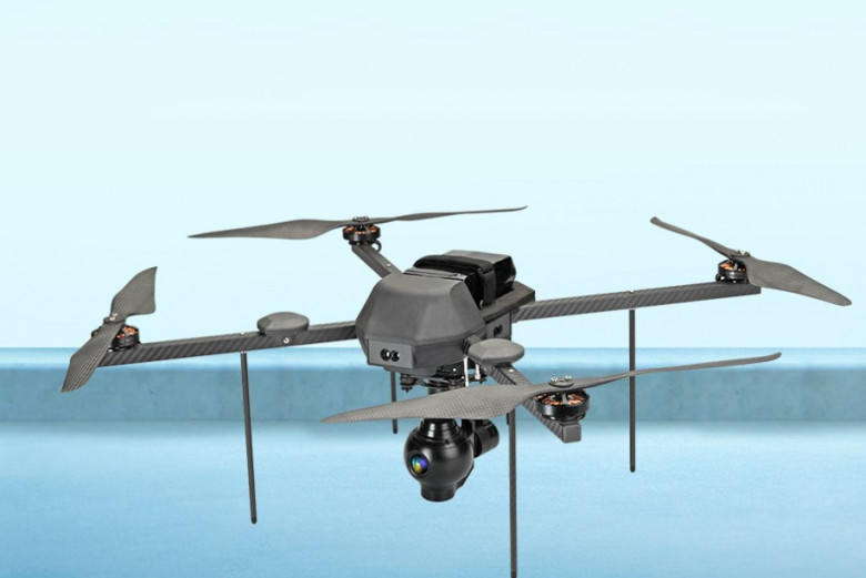
As demand for aerial intelligence continues to rise, organizations are seeking robust, flexible, and scalable software solutions to support their operations. One company setting a benchmark in this space is Asteria Aerospace. As a full-stack drone technology provider, Asteria Aerospace develops customized hardware and software systems to deliver precise aerial data solutions.


Comments
0 comment